Jambhulne is the base village of the fort but it is at about 1 hour distance.
There is a hill behind the village facing which if we stand we can see another hill to the right side. In the cleft between these two hills there is an unpaved road which leads up to the mountain. After ascending on the ridge and dense vegetation we come across dense bushes of Karvi. Crossing this patch we come to an open ground. It takes around 30 minutes from the base to reach here. On this open ground there is a hill to the left and further to it we can see a rock wall hill which is the Morgiri fort. From this open ground we can see the flag hoisted on the fort. Keeping the hill to the left and valley to the right we reach the base of the rock wall in about 30 minutes. The path is of steep ascend from here.
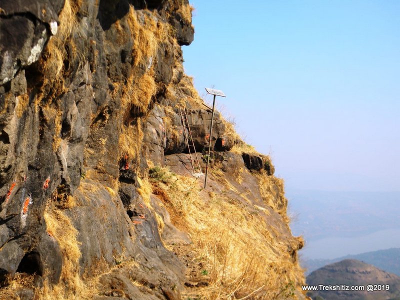
The first patch is somewhat relieving due to the shadow of the trees and the next patch crosses through thick Karvi trees. After walking in this patch for about 30 minutes we come to a wall where there are rock cut steps. After climbing this patch there is a water tank but the water is not fit to drink. Ahead of this tank there is a 5ft high rock patch above which there is another water tank which also has unfit water for consumption. A ladder is installed near this tank.
About 2 ft above where the ladder ends there is an iron nail dug in the wall. We have to take the support of this nail from the last step of the ladder and carefully get on the adjoining rock patch. Further there are rock cut steps which once crossed, we come across an open area. There are more rock cut steps here which take us to the fort top in 5 minutes. The top spread of the fort is small and has a water tank on it but it does not have potable water. On the top most part of the fort there are remains of some structures.
The backwater of Pawana Dam, Tung, Tikona, Korigad forts are visible from the top.
|