Raireshwar
Maps & Routes
Explore detailed maps and trekking routes to reach the fort
No maps available yet
Browse All MapsIntroduction
Tableland of Pachgani is very famous but higher and longer tableland is the plateau of Rayari. It is 8 km away from Bhor. From Pune it can be visited within one day. Deep valleys, very high pinnacles, huge plateau, long trunks, difficult turnings and dense trees make this area little difficult.
Historical Background
It is said that Shivaji Maharaj took an oath of ‘Swarajya’ on this fort. However no historical proofs are available to confirm this statement.
Points of Interest
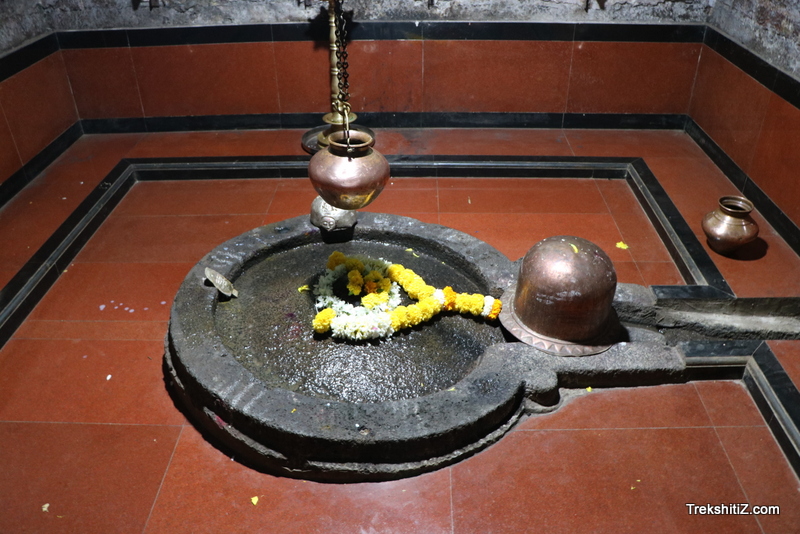
The huge plateau over the mountain is about 5-6 km. It looks beautiful in monsoon. There is a temple of Shambhu Mahadeo on Rayreshwar. This temple is situated rather deep in the interior, hence not seen in first glance. Recently a village has been situated on this plateau. We find many rice fields on this plateau. We can see Pandavgad, Vairatgad, Pachgani, Mahabaleshwar, Kolheshwar, Rajgad, Lingana, Rajgad, Torna, Sinhagad, Vichitragad, Purandar, Rudramal, Chandragad and Mangalgad from this fort.
How to Reach
All the ways to Rayareshwar go from Bhor.
Trek Duration
⏱️ 2½ to 3 hours are required by any route
Facilities & Amenities
Accommodation
10-12 people can be accommodated in the temple or in the village.
Food
One should arrange for the foodstuffs.
Water
Drinking water is available in all seasons.
Best Season to Visit
🌤️ N/A
Nearby Villages
Korle,Rayri
Planning Your Trek?
Pack Smart
Carry essentials, water, and first aid kit
Start Early
Begin your trek early in the morning
Trek in Groups
Always trek with companions for safety
Keep Forts Clean
Do not litter on forts. Do not damage the fort.