Songir (Karjat)
Maps & Routes
Explore detailed maps and trekking routes to reach the fort
No maps available yet
Browse All MapsIntroduction
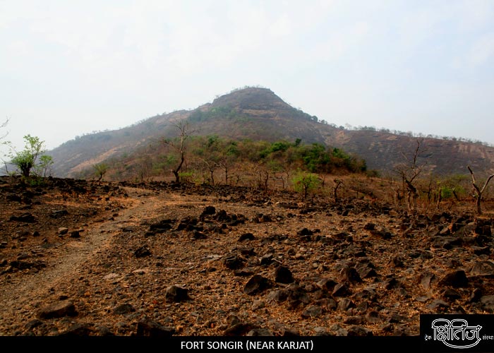
There are 2 forts by name Songiri in Maharashtra, one near Karjat in Pune district (also known as the fort of “Avalas”) and the other near Nagothane in Raigad district. This is at the base of Borghat and was built to guard it.
Points of Interest
Songiri is a small fort, and there are 2 water tanks on the top, with remnants of ramparts. We get a beautiful glimpse of Borghat. Rajmachi, Dhak, Bhivgad and Prabalgad can be seen from the top.
How to Reach
We have to reach Palasdhari station on Khopoli route. It takes 15 min to reach village Avalas. From Avalas, we have to reach Naavli village, which is the base village. It takes around 2 hours to reach the top of the fort. We have to be careful since the ascent becomes slippery as we reach towards the top.
Facilities & Amenities
Accommodation
None
Food
None
Water
None
Best Season to Visit
🌤️ N/A
Other Forts in Lonavala
Planning Your Trek?
Pack Smart
Carry essentials, water, and first aid kit
Start Early
Begin your trek early in the morning
Trek in Groups
Always trek with companions for safety
Keep Forts Clean
Do not litter on forts. Do not damage the fort.