Kailasgad
Maps & Routes
Explore detailed maps and trekking routes to reach the fort
No maps available yet
Browse All MapsPoints of Interest
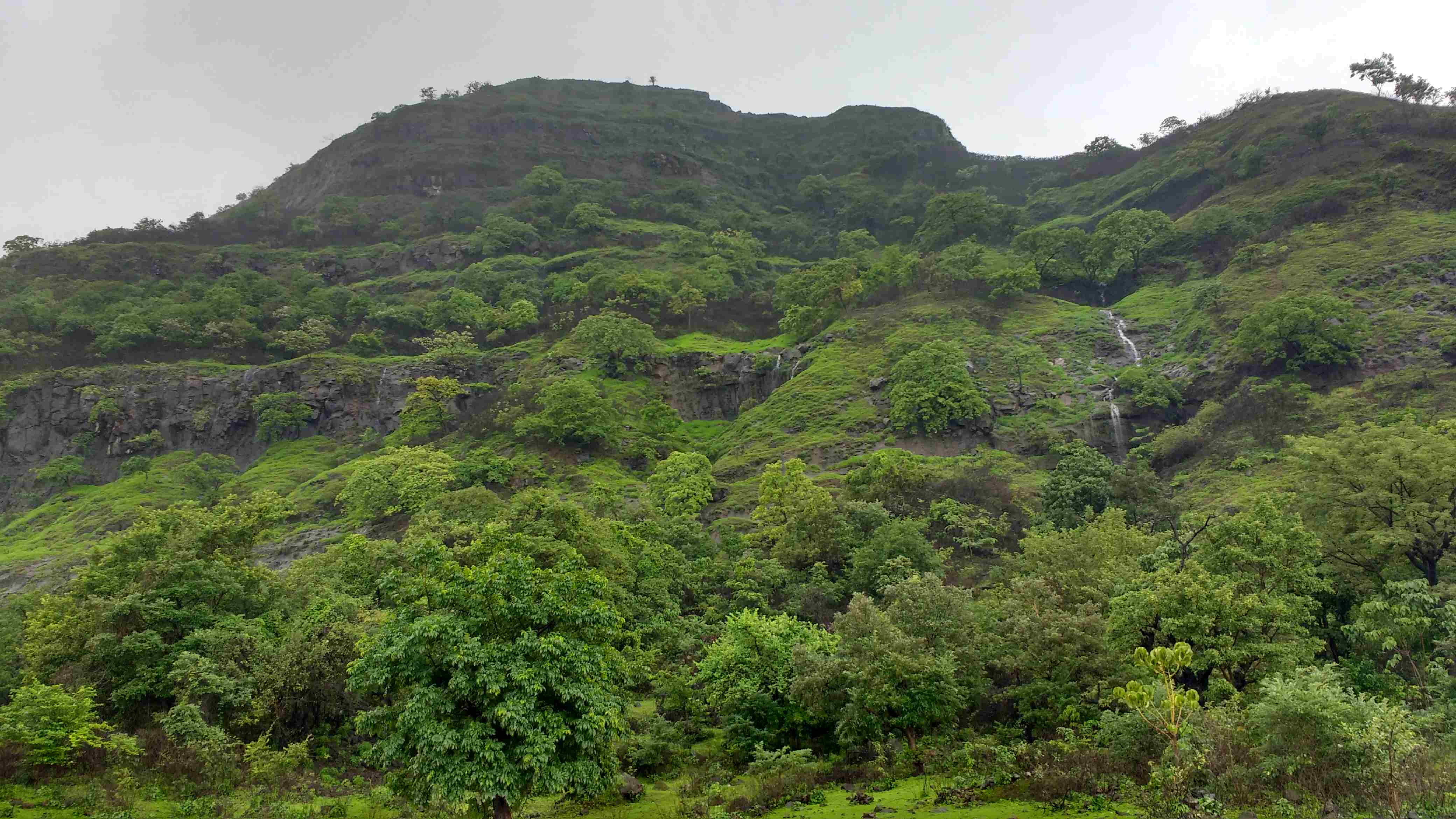
Near the signboard where the ridge of the mountain descends there is an unpaved road which takes us to the top of the small hill in 15 minutes. The backwaters of Mulshi dam can be clearly be seen from this point. The next small hill stands jointly with the mountain of the fort. One can reach the hill top in 15 minutes from here by keeping the hill to the right and valley to the left. Where the hill ends we come across the tall standing wall of the mountain thus we have to traverse the mountain to reach the fort, keeping the fort to the right and valley to the left. This takes another 15 minutes to reach the fort. Here, there is a plateau on the right and a saffron flag mounted on it. Opposite to the plateau there is a small hill structure. Before ascending this take the route to the left which descends for 5 minutes to reach to the water tanks carved in rock. It seems the carving of water tanks was left incomplete due to the soft and porous nature of the rock.
Coming back to the plateau and crossing the hill structure we come across ruins of houses. Moving further towards the edge of the fort there is wall inside which a Shivlinga is carved in stone. From this point, the fort can be descended by to options. One is by the usual route we came through and another is by the route near the Shivlinga which descends from the edge of the fort and an unpaved path takes us towards Bhadaskonda village. Further the route leads to Vaduste – Tamhini road where there is a temple dedicated to Waghdev. Here, there is a naturally carved out cave on the upper part. After visiting this we can reach the cleft in 10 minutes by taking the tar road.
How to Reach
Vaduste is the bsae village of this fort which can be accessed by Mumbai – Lonavla – Bhushi Dam – INS Shivaji – Peth Shahapur – Ba route. Vaduste to Lonavla is 51 kms. S.T. buses are available from Lonavla to reach the base village. The road further leads to Tamhini ghat, Mulshi and Pune. 2 kms from here there is a cleft where we come across a electricity transformer towards the left (Dam side) and to the right is the ridge of the Kailasgad fort. There is a signboard with the fort name from where it takes about one hour to reach teh fort.
Another route option is Pune – Mulshi – Tamhini ghat – Bhadaskonda.
The fort is at 78 kms on this route from Pune. The cleft on this route lies after Bhadaskonda village.
Trek Duration
⏱️ 1 hour from the base
Facilities & Amenities
Accommodation
Not available
Food
Not available
Water
Water on the fort is not potable
Best Season to Visit
🌤️ N/A
Planning Your Trek?
Pack Smart
Carry essentials, water, and first aid kit
Start Early
Begin your trek early in the morning
Trek in Groups
Always trek with companions for safety
Keep Forts Clean
Do not litter on forts. Do not damage the fort.