Mangalwedha
Maps & Routes
Explore detailed maps and trekking routes to reach the fort
No maps available yet
Browse All MapsPoints of Interest
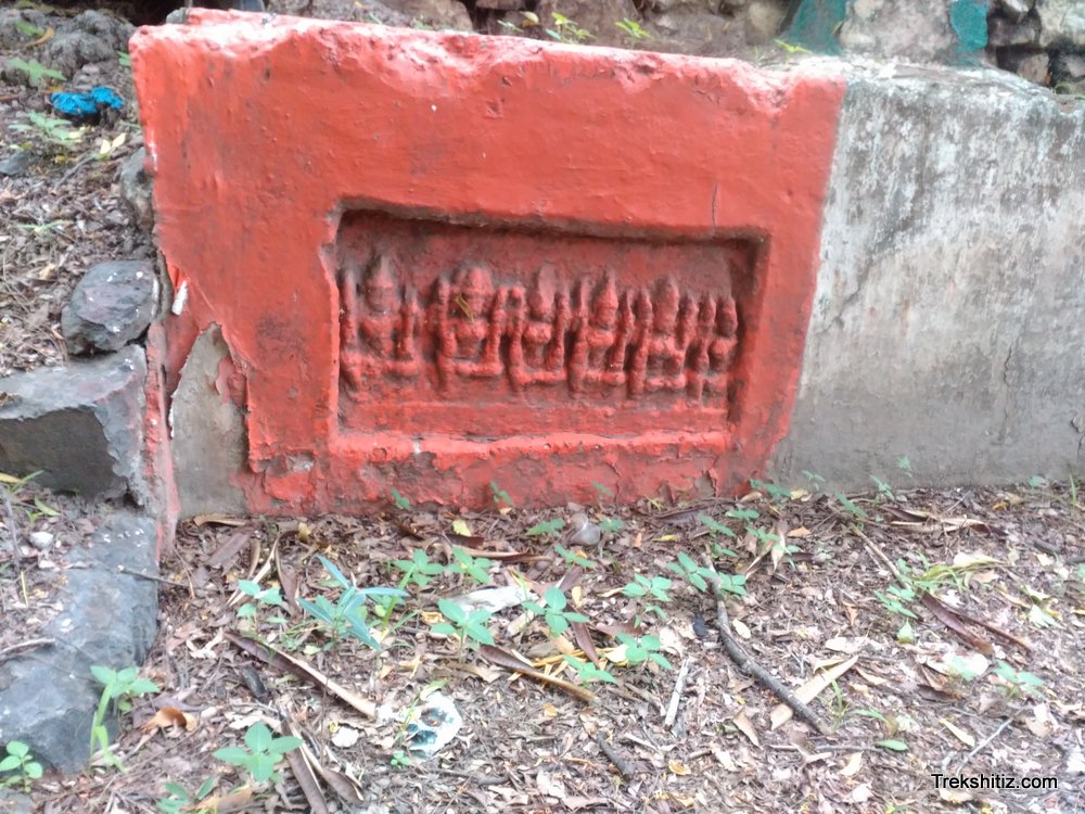
The current structure of the fort is a small miniature fort type with four bastions and houses the office of Divisional Magistrate. The trench of the fort is now devastated. At the corner we can find some sculptures and idols of Gods and Goddesses. The present ruined state of the fort hints that the fort must have been huge in the earlier times. At the back of the fort there a temple of Lord Kashivishweshwar and a beautiful well. The scripture in the temple premises mentions that the temple was built in 1572 A.D. After descending a few steps in the well we come across an idol of Lord Bramha and also a secret chamber in the midst which opens out to the village. Near the college in the town we can see Veerghals and a beautiful carved pillar of the ancient temple.
How to Reach
Mangalwedha is 50 kms from the District city of Solapur and 23 kms from the holy town of Pandharpur and buses are easily available.
Facilities & Amenities
Accommodation
Available in Malgalwedha
Food
Available in Malgalwedha
Water
It is advised to carry water during trek.
Best Season to Visit
🌤️ N/A
Planning Your Trek?
Pack Smart
Carry essentials, water, and first aid kit
Start Early
Begin your trek early in the morning
Trek in Groups
Always trek with companions for safety
Keep Forts Clean
Do not litter on forts. Do not damage the fort.