Manikdurg
Fort Images
Explore Various Images of the Fort
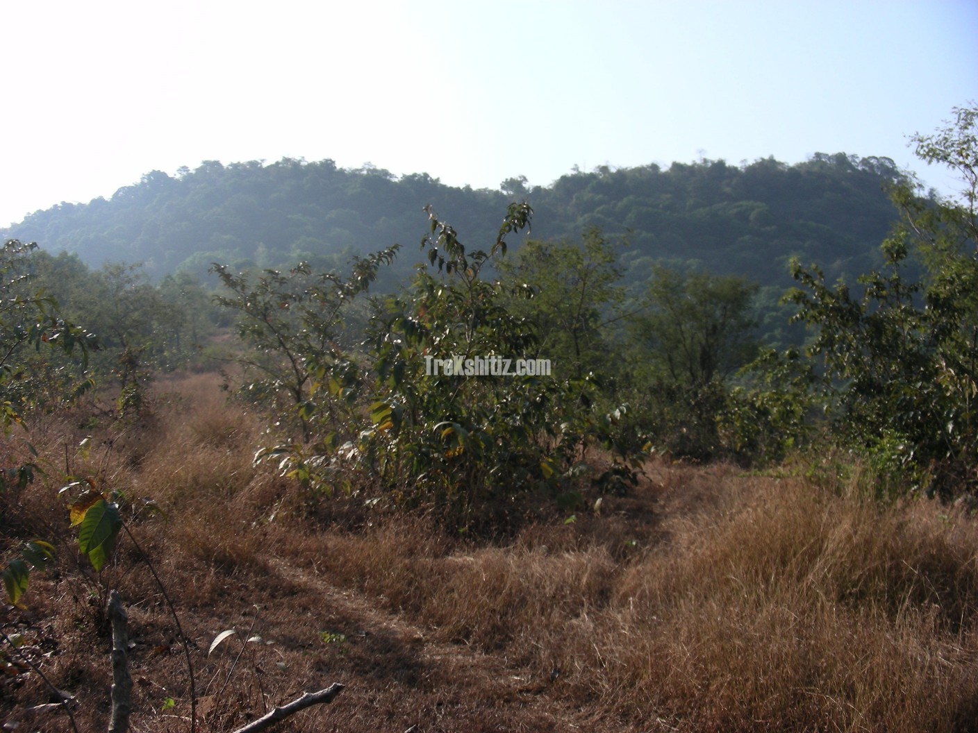
Manikdurg from base village mandaki
Introduction
Manikdurga is situated near Mandki village in Chiplun taluka. Thanks to the efforts of Archaeologist Sachin Joshi from Pune, the fort was discovered and its history revealed. The goods coming from the ancient port of Palshet were dispatched through trade routes safeguarded by Navtedurga, Kasardurga, Manikdurga, Bhairavgad, etc. Manikdurga is also known as “Durgecha Dongar” (The mountain of Durga).
Historical Background
Manikdurga was a part of Vijaynagar Empire. Later Adilshah captured these forts and destroyed them completely, due to which the fort also faded from the memory of the people.
Points of Interest
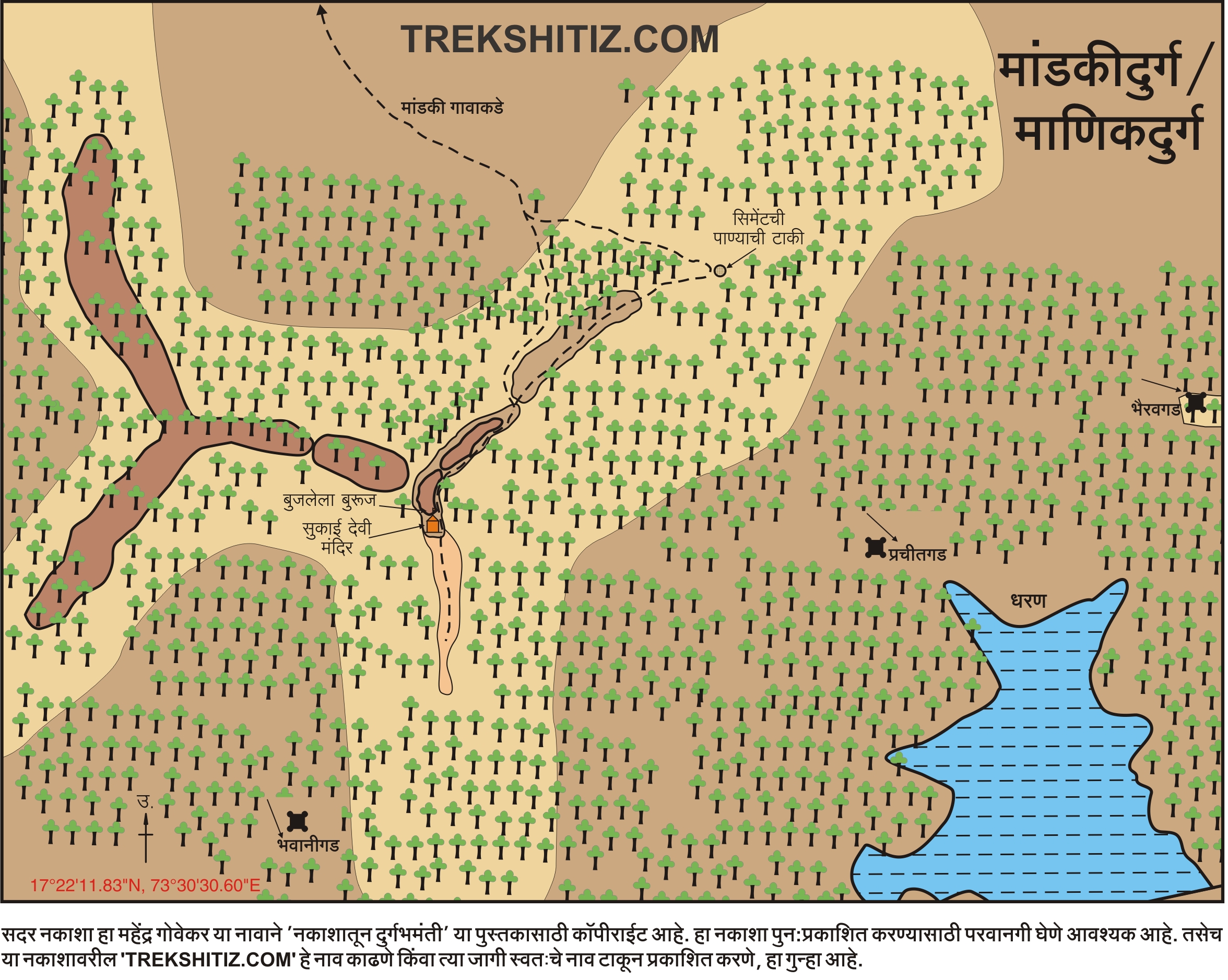
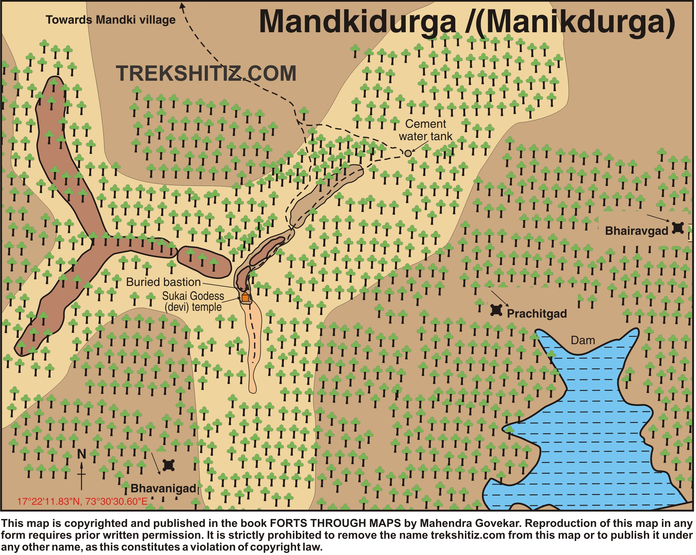
On the top we find the temple of Sukai Devi. The remnants are scattered everywhere in the forests. On the water tank we find stone carvings of Yakshas. Due to dense tree cover, we can see birds and butterflies here.
How to Reach
Chiplun – Savarde – Mandki distance is at 27 km. The road to Mandki village goes from Savarde village on Mumbai – Goa highway. Savarde – Mandki distance is 7 km and Savarde station – Mandki distance is 2 km. From the Amba stop in Mandki, the road to the left takes us to the fort base.
The path to the fort goes through dense tree cover. It takes one hour to reach the top.
Facilities & Amenities
Accommodation
None
Food
None
Water
None
Best Season to Visit
🌤️ N/A
Other Forts in Konkan
Planning Your Trek?
Pack Smart
Carry essentials, water, and first aid kit
Start Early
Begin your trek early in the morning
Trek in Groups
Always trek with companions for safety
Keep Forts Clean
Do not litter on forts. Do not damage the fort.