Songir (Dhule)
Fort Images
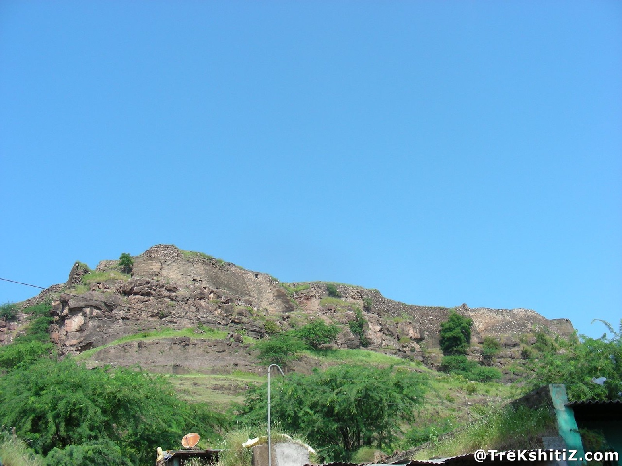
Explore Various Images of the Fort
Songir (Dhule)
.jpg)
Introduction
Maharasshtra is known as the land of rocks, where the mighty Sahyadris have formed. One of these mountain ranges which passes through Dhule district have two forts of Songir and Laling on the Dhule-Agra highway. This fort was built to keep an eye on the Surat-Burhanpur trade route.
Points of Interest
This fort is located on a small hill. The entrance of the fort is in complete ruins with only the main frame left. This gate had an inscription dated ‘Shake’ 1497 (1575A.D.) stating that ‘Ugrasen, son of Mansingh was very brave’. This inscription is now with the local government authority. One can see remnants of pillars alongside the entrance. There are steps opposite the entrance leading upwards and a water tank just beneath. These steps lead us to the fort top where we come across two routes. The route towards left hardly has any remains apart from the ruins of fortification wall on the edge. After this, one has to go back to the confluence of the routes and now take the one towards the right. Moving ahead there is a dried well and its depth is equivalent to that of a ten storey building. Bit further from here there is a beautiful small pond which was used to store water from the well. It can be seen that the pond has 14 corners. Further, there are remnants of mansion and ruins of bastions on the last edge of the fort. Remnants of broken pipes of the old water systems that must have existed on the fort in the days gone could still be seen.
How to Reach
Songir fort is 21 kms from Dhule on the Dhule-Agra highway. From Dhule, ST buses going to Shahada or Dhondhaicha stop at Songir junction on the highway. Songir village is about 15 minutes from here. The route to the fort starts opposite the Grampanchayat office and it takes around 10 minutes to reach the fort top.
Facilities & Amenities
Accommodation
Nil
Food
There are some hotels on Songir junction on the highway.
Water
Nil
Best Season to Visit
🌤️ N/A
Planning Your Trek?
Pack Smart
Carry essentials, water, and first aid kit
Start Early
Begin your trek early in the morning
Trek in Groups
Always trek with companions for safety
Keep Forts Clean
Do not litter on forts. Do not damage the fort.