Bandra Fort
Fort Images
Explore Various Images of the Fort
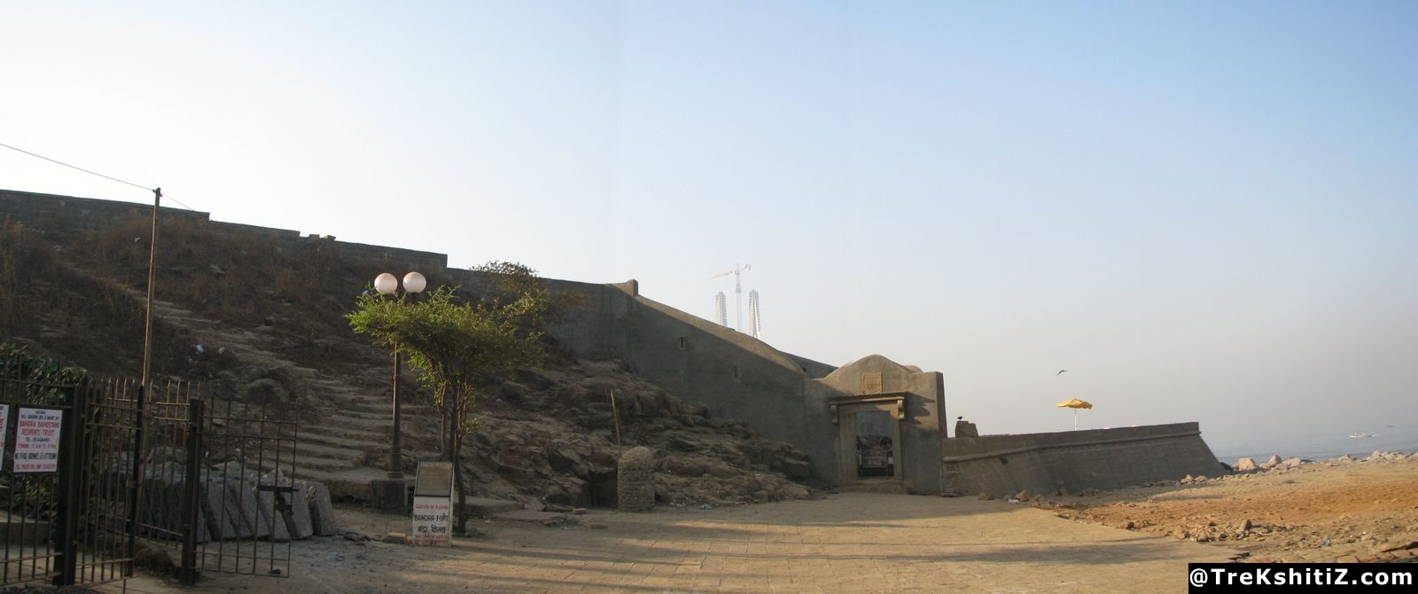
Panoramic view of Bandra Fort
Maps & Routes
Explore detailed maps and trekking routes to reach the fort
No maps available yet
Browse All MapsIntroduction
Mumbai is made up of 7 islands, and was separated from main land due to Mahim creek. This was an important trade route, and the Mahim fort was built to safeguard it. The Portuguese built Bandra fort near today’s Bandra reclamation (formerly a part of Sashti or Salsette island) to make this region more safe.
Points of Interest
This fort is conserved to some extent by the Archeology department, and has a garden inside created by “Bandra Land & Garden Society”. The main entrance has a stone inscription in Portuguese. From the second entrance there are stairs to climb up. The fort has no other remnants.
How to Reach
We have to go to Band Stand at Bandra from Bandra station. From there, the fort lies ahead “Taj Land End” hotel.
Trek Duration
⏱️ 10 min walking from Bandstand
Facilities & Amenities
Best Season to Visit
🌤️ N/A
Other Forts in None
Planning Your Trek?
Pack Smart
Carry essentials, water, and first aid kit
Start Early
Begin your trek early in the morning
Trek in Groups
Always trek with companions for safety
Keep Forts Clean
Do not litter on forts. Do not damage the fort.