Madh Fort (Varsova Fort)
Fort Images
Explore Various Images of the Fort
Madh Fort (Versova Fort)
Maps & Routes
Explore detailed maps and trekking routes to reach the fort
No maps available yet
Browse All MapsIntroduction
To the north of Mumbai is Madh Island, and Madh fort is situated here, between Madh Island and Versova. This fort was built in 1600 by Portuguese to safeguard Marve creek and as a prison.
Points of Interest
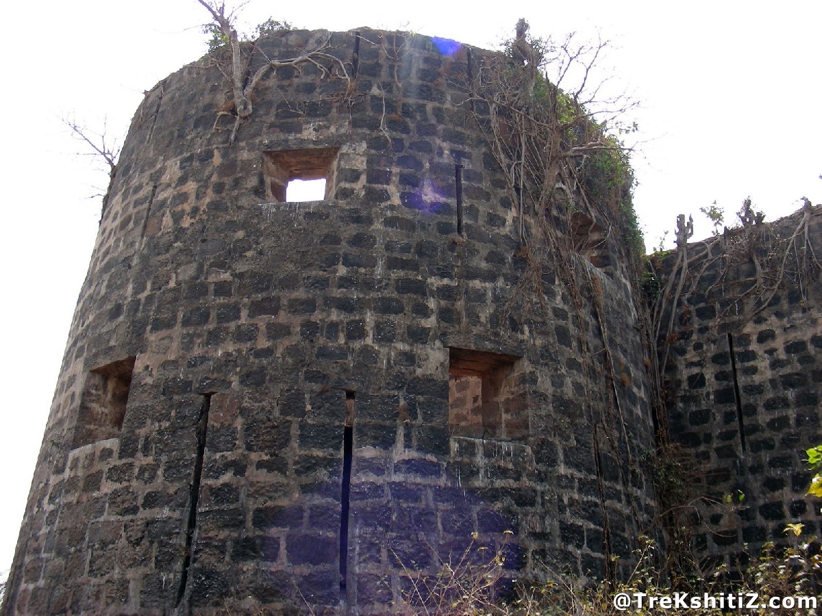
This fort is in a good shape amongst the ones in Mumbai, with ramparts and bastions intact. The fort is surrounded by land on three sides and faces Arabian Sea on its one side. There are slits for guns in the walls. The secret passage towards the sea is closed now. The main entrance is closed and there are stairs through the bastion.
Since the fort is under the control of IAF, it can be seen only from outside. Also, photography is not allowed.
How to Reach
We have to go to get Best Bus number 271 from Malad west to reach the fort. From there, we reach the back side of the fort walking towards Killeshwar temple. There is a way from the temple which takes us around the fort.
Facilities & Amenities
Best Season to Visit
🌤️ N/A
Other Forts in None
Planning Your Trek?
Pack Smart
Carry essentials, water, and first aid kit
Start Early
Begin your trek early in the morning
Trek in Groups
Always trek with companions for safety
Keep Forts Clean
Do not litter on forts. Do not damage the fort.