Mandangad
Maps & Routes
Explore detailed maps and trekking routes to reach the fort
No maps available yet
Browse All MapsIntroduction
Mandangad and Bankot were built to safeguard the trade route through Savitri River, which was an important trade route.
Historical Background
It is said that Mandangad was built by King Bhoj. In 1661 it was under Jaswantrao Dalvi, an Adilshahi Sardar. He was the person who had besieged Vishalgad during Shivaji Maharaj’s daring escape from Panhalgad. When Shivaji Maharaj defeated Kartalabkhan and was marching towards Dabhol, Mandangad was on the way. Hearing this news, Jaswantrao ran away to Shringarpur and Shivaji Maharaj got it without a fight. It was with Angres and Siddis for some time. The British captured it in 1818.
Points of Interest
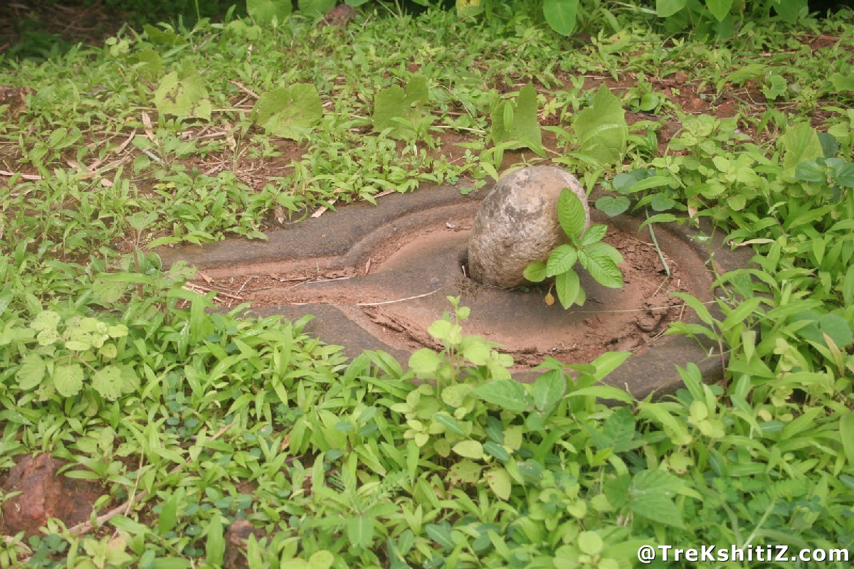
There are 2 summits for the mountain on which Mandangad is built. On the higher one there is a water tank. The fortification is seen on the lower and more flat part. The entrance is destroyed, but the bastions stand. The Ganesh temple here is reconstructed. We can see Savitri River, Raigad and Varandha pass on a clear day.
How to Reach
Mandangad is an important town in Raigad district. We have to via Ambet-Mhapral from a toll junction before Mahad. Dhangarwadi is the base village at 2 km from Mandangad city, till where we can go by vehicle. It takes 20 minutes to reach the top.
Facilities & Amenities
Accommodation
In the Ganesh temple
Food
None
Water
Available
Best Season to Visit
🌤️ N/A
Additional Information
Mandangad and Bankot can be seen in a day and one can stay in Velas, which is famous for its “Turtle Conservation Project”.
Other Forts in Konkan
Planning Your Trek?
Pack Smart
Carry essentials, water, and first aid kit
Start Early
Begin your trek early in the morning
Trek in Groups
Always trek with companions for safety
Keep Forts Clean
Do not litter on forts. Do not damage the fort.