Manikpunj
Introduction
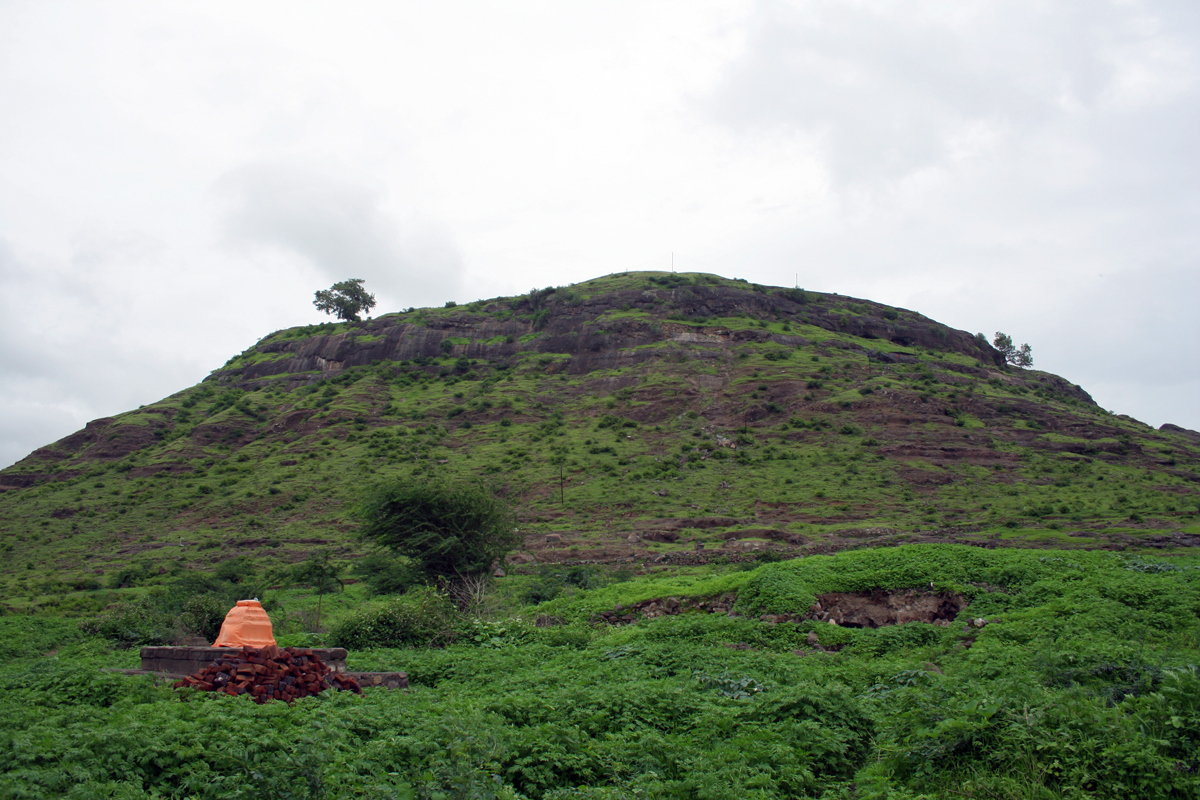
This tiny fort stands in the Ajanta-Saatmaal mountain range close to Aurangabad and East of Nashik district.
Points of Interest
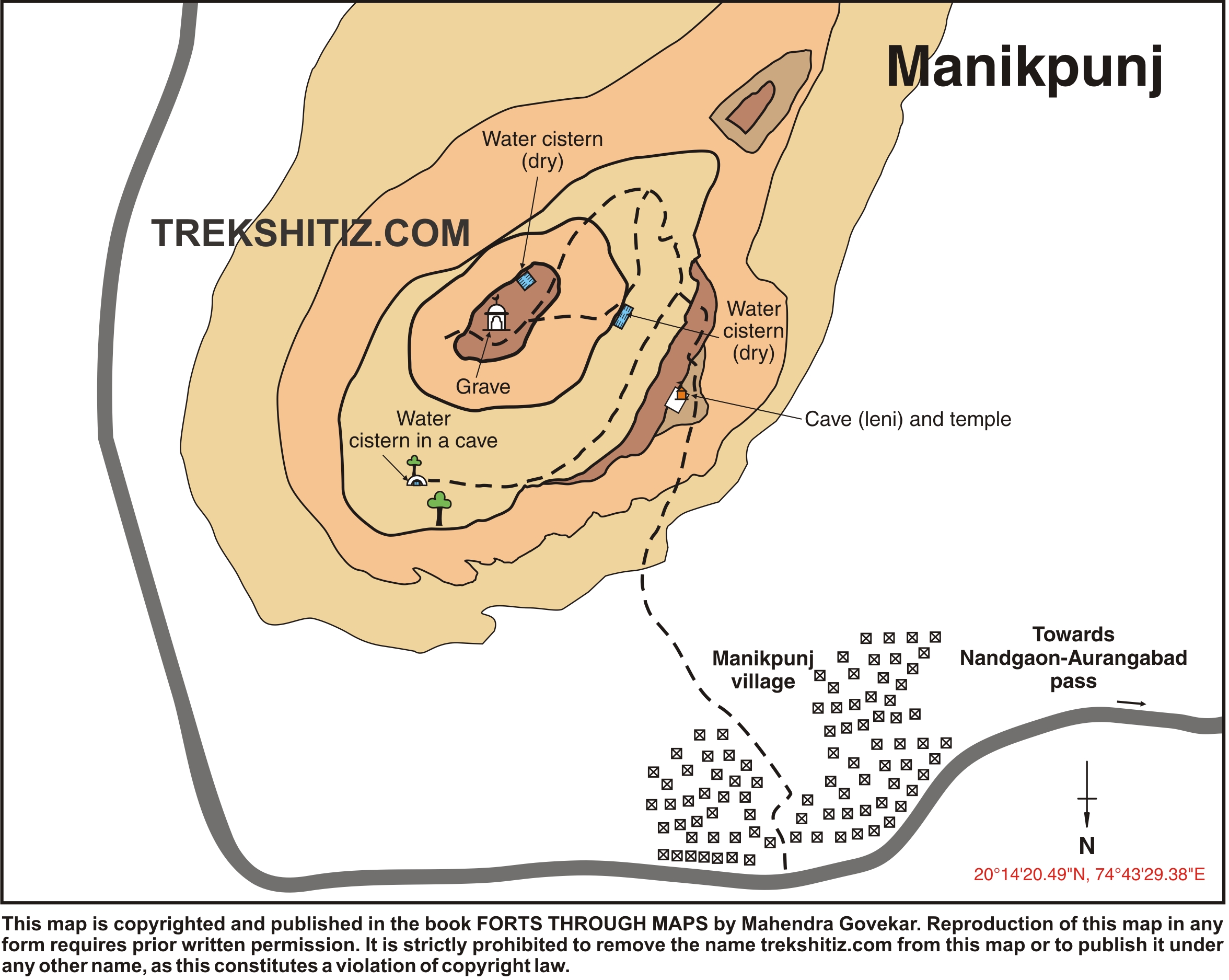
There is a rock cut cave on the fort with idols of Goddesses inside. On the upper side of the cave there is a water tank which is now dried up. The summit of the fort has another dried up water tank and a tomb. Apart from this the fort doesn’t have any other remnants.
How to Reach
One has to get down at Nandgaon railway station on the Manmad – Bhusaval line. Proceed to Kasarbari village on the Nandgaon – Aurangabad route. The road to Manikpunj village and the fort goes through Kasabari.
Trek Duration
⏱️ 30 minutes from Manikpunj village
Facilities & Amenities
Accommodation
Not available
Food
Not available
Water
Not available
Best Season to Visit
🌤️ N/A
Planning Your Trek?
Pack Smart
Carry essentials, water, and first aid kit
Start Early
Begin your trek early in the morning
Trek in Groups
Always trek with companions for safety
Keep Forts Clean
Do not litter on forts. Do not damage the fort.