Nagla Bunder Fort
Fort Images
Explore Various Images of the Fort
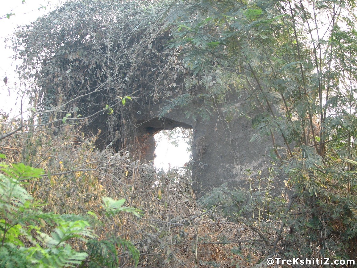
Nagla bunder Fort
Maps & Routes
Explore detailed maps and trekking routes to reach the fort
No maps available yet
Browse All MapsIntroduction
Kalyan in Thane district has been a prominent harbour from ancient times. Other ports present on this sea route were Nagla Bunder and Ghodbunder. The forts of Nagla Bunder, Ghodbunder and Gomukh were built to guard these ports.
Points of Interest
Nagla Bunder village is present on the Thane-Borivli route via Ghodbunder road. The fort is situated at a walk of 10 minutes from bus top, on a hill near the creek. Due to nearby stone quarry nearby and uncontrolled vegetation, the remnants are fading away. The fort is left at the mercy of nature and no care is being taken to conserve it.
How to Reach
Nagla Bunder village is present on the Thane-Borivli route via Ghodbunder road. The fort is situated at a walk of 10 minutes from bus top, on a hill near the creek.
Facilities & Amenities
Best Season to Visit
🌤️ N/A
Other Forts in None
Planning Your Trek?
Pack Smart
Carry essentials, water, and first aid kit
Start Early
Begin your trek early in the morning
Trek in Groups
Always trek with companions for safety
Keep Forts Clean
Do not litter on forts. Do not damage the fort.