Barvai
Maps & Routes
Explore detailed maps and trekking routes to reach the fort
No maps available yet
Browse All MapsIntroduction
Barvai is built on a mountain which stands separate from the linked ranges of Sahyadri, near Chiplun. Its references are found in a book named “Daspaticha Itihaas”, which was found in Pedhambe village. This fort is said to have been used as a watch tower.
Points of Interest
There are no remnants on the fort now. We can find the idol of Goddess Bhairi on the mountain top. A Veergal (stone sculptures carved out in the memory of warriors) is found on the western side on a hillock. Local people call it “Vetal”. There is a small cave beyond this, which is closed.
On the northern part of the fort we can find 3 square shaped ditches, and some plinths of old houses. The further part becomes narrower.
How to Reach
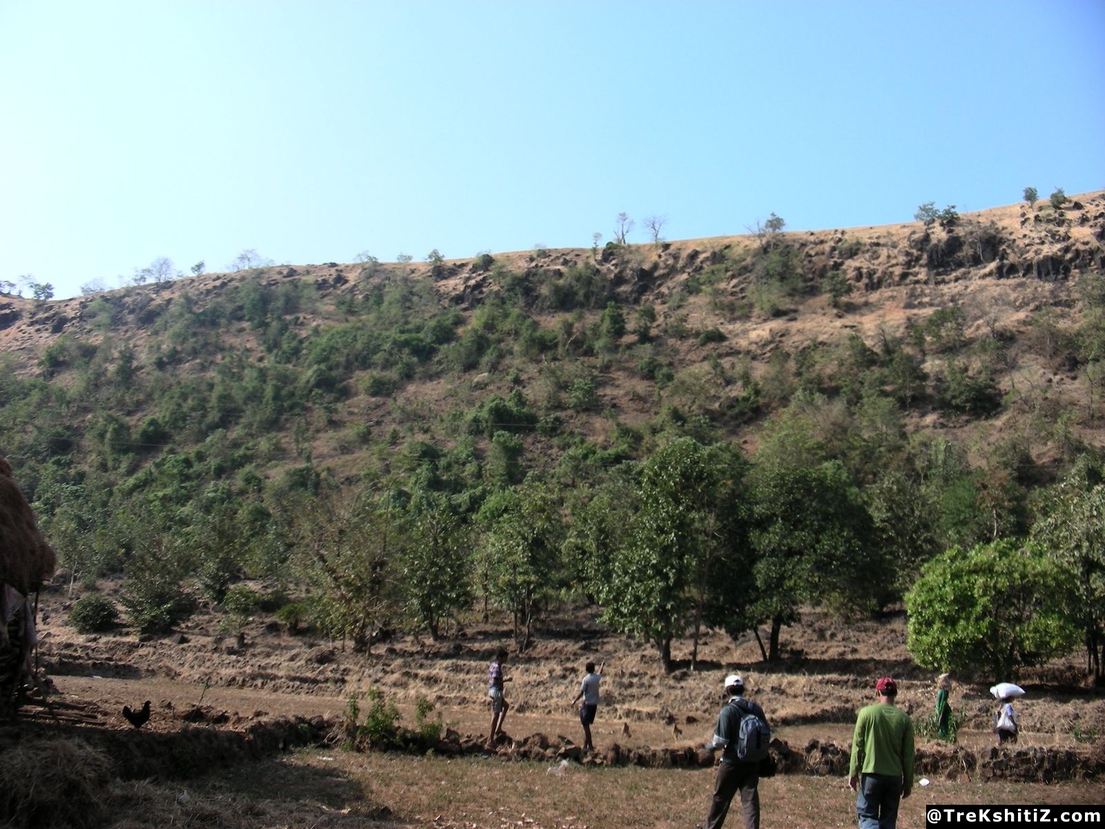
The diversion to Pedhambe is located at 10 km from Chiplun on Chiplun-Karad road. Pedhambe Dhangarwadi (Ambadiwadi) is located at the base of the fort. From here, we can reach the top of the fort in 10 minutes. There are 2 routes to Dhangarwadi
Facilities & Amenities
Accommodation
One can stay in Sukai temple in Khadpoli or Ugvatwadi temple.
Food
None
Water
None
Best Season to Visit
🌤️ N/A
Other Forts in Konkan
Planning Your Trek?
Pack Smart
Carry essentials, water, and first aid kit
Start Early
Begin your trek early in the morning
Trek in Groups
Always trek with companions for safety
Keep Forts Clean
Do not litter on forts. Do not damage the fort.