Mahim Fort
Maps & Routes
Explore detailed maps and trekking routes to reach the fort
No maps available yet
Browse All MapsIntroduction
Mumbai is made up of 7 islands, and was separated from main land due to Mahim creek. This was an important trade route, and the Mahim fort was built to safeguard it. Mahim fort is the most ancient fort in Mumbai region.
Historical Background
In 1140, King Pratapbimb built a fort on Mahakavati aka Mahim creek, and made this as his capital. He encouraged trade and commerce here in 12th century.
When the fort came under British control, Gerald Aungier reconstructed this fort. When the Portuguese attacked this fort in 1672, they could not win as there were 100 soldiers and 30 canons on the fort.
On 14th February 1689 Siddhi Yakut Khan of Janjira attacked Mumbai with an army of 2500, and captured the fort. He raided this region for around a year. The British took it back later.
Points of Interest
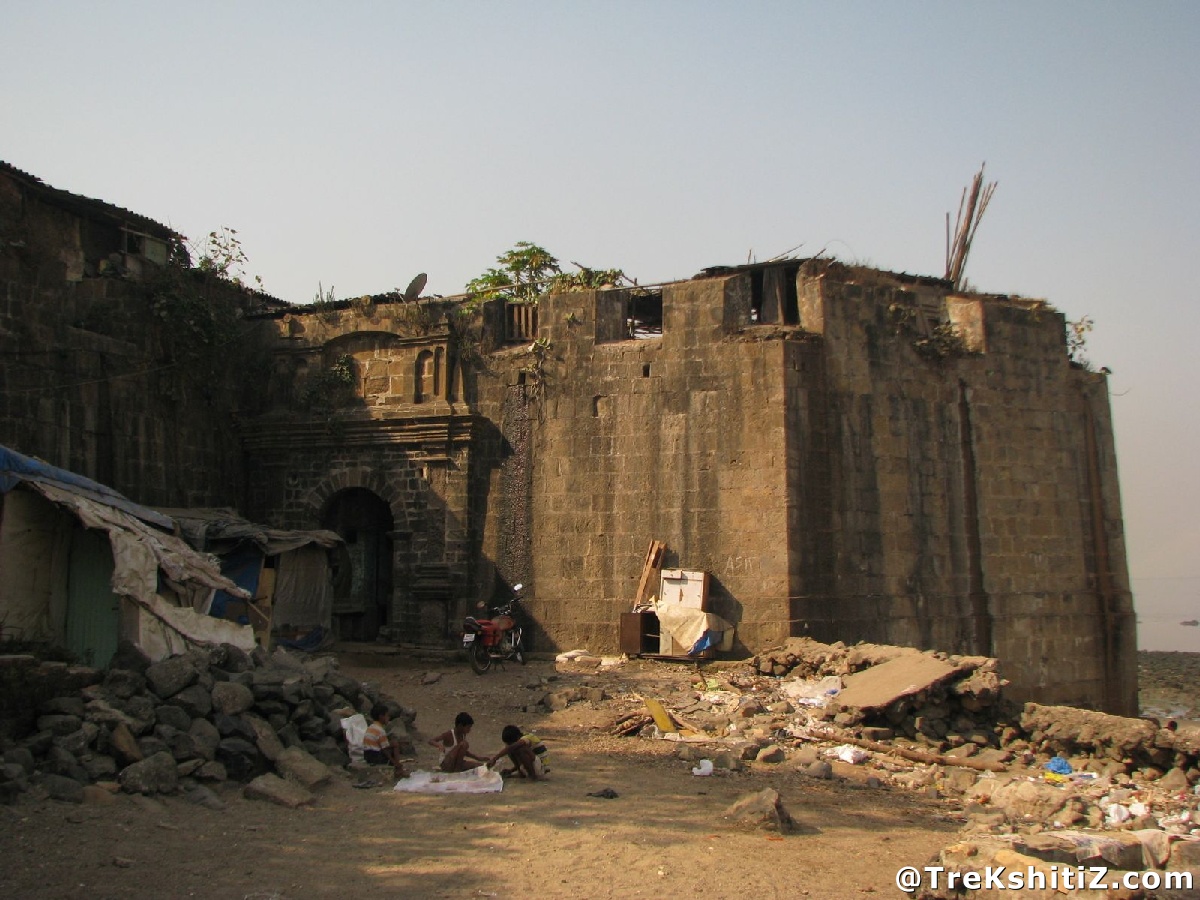
This fort is a good example of British architecture with its characteristic bastions, strong walls, decorative pillars and wonderful carvings. Encroachment has blocked the whole fort now.
How to Reach
We have to go to Mahim beach from Mahim station. From there, the fort is at a walk of 10 min.
Facilities & Amenities
Best Season to Visit
🌤️ N/A
Other Forts in None
Planning Your Trek?
Pack Smart
Carry essentials, water, and first aid kit
Start Early
Begin your trek early in the morning
Trek in Groups
Always trek with companions for safety
Keep Forts Clean
Do not litter on forts. Do not damage the fort.