Sion Fort
Maps & Routes
Explore detailed maps and trekking routes to reach the fort
No maps available yet
Browse All MapsIntroduction
The British built this fort to on a hill on the eastern face of Mahim creek under the rule of Gerald Aungier. The Marathas took over this fort in Vasai campaign. This was between British ruled Mumbai and Portuguese ruled Sashti or Salsette Island.
This fort was to safeguard the trade route via Mahim creek.
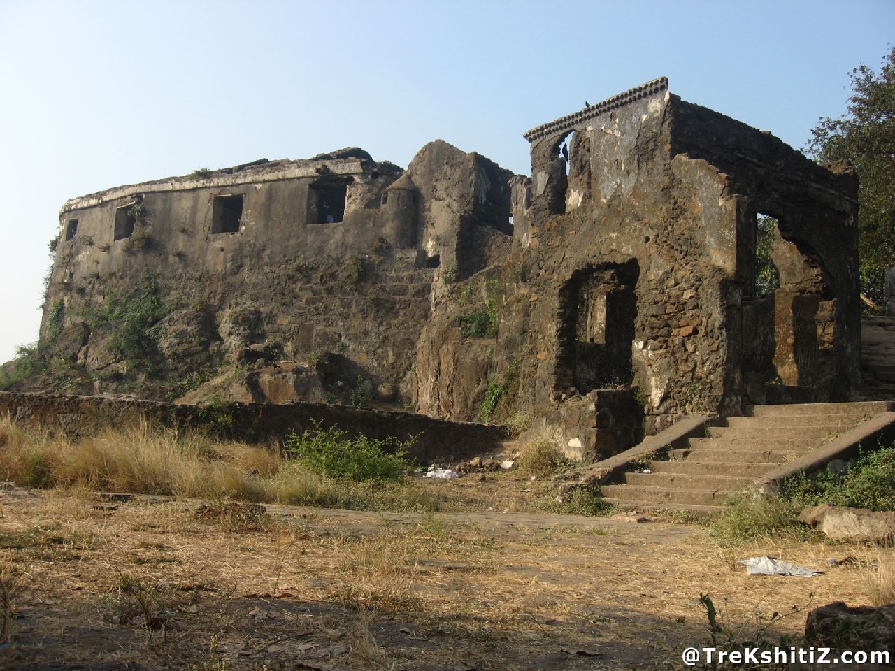
Points of Interest
Sion fort is near Jawaharlal Nehru Udyan. There is branch office of the Archaeological Survey of India at the base, and the path to the fort goes through the office. The bastions, remnants of old offices, a storage room and a square shaped pond are seen on the fort. We can get a glimpse of Mahim creek and nearby region from the central bastion.
How to Reach
We have to go to Sion east from Sion station. We reach the Eastern Expressway after a walk of 3 min. After crossing this we can reach the fort in 2 min.
Facilities & Amenities
Best Season to Visit
🌤️ N/A
Other Forts in None
Planning Your Trek?
Pack Smart
Carry essentials, water, and first aid kit
Start Early
Begin your trek early in the morning
Trek in Groups
Always trek with companions for safety
Keep Forts Clean
Do not litter on forts. Do not damage the fort.