| Fort Name : | Alphabetically | RangeWise | DistrictWise | CategoryWise | GradeWise |
| Ranjangiri | FortHeight : 2790 ft from MSL | ||||
| Type : Hill forts | Fort Range : Trimbakeshwar | ||||
| District : Nashik | Grade : Medium | ||||
| Nasik has been a major trade centre and market from ancient times. The goods from Dahanu port were transported to Nasik via Jawhar � Gondaghat � Amboli ghat. Ranjangiri is situated in the Trimbakeshwar range in Nasik district, built to protect this route, along with Basgad, Harshgad, Anjaneri and Bhupatgad (near Jawhar). Since the pinnacle on the south of the fort is of the shape of a spouted pitcher or �Ranjan� in Marathi. |
|||||
|
|||||
| Fascinating Spots : | |||||

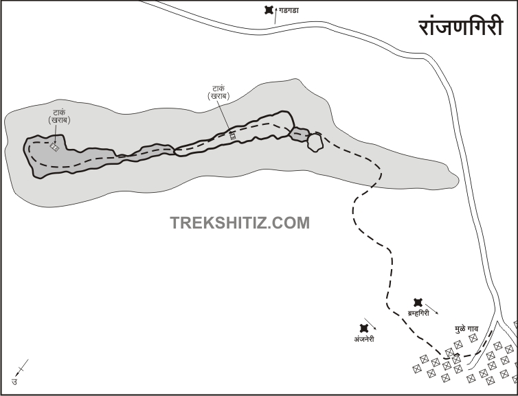
| To reach to the topmost part, the way is around the pinnacle. The entrance, ramparts and bastions have been completely destroyed. There are 2 tanks on the fort. To climb the pinnacle, basic climbing techniques can be used. | |
| Ways To Reach : | |
| Mulegaon is the base village of Ranjangiri. The road to Mulegaon starts 15 km before Nasik on Mumbai-Nasik highway. It takes one hour to reach the top from the base. | |
| Accommodation Facility : | |
| None | |
| Food Facility : | |
| None | |
| Drinking Water Facility : | |
| None |
| Marathi Version |