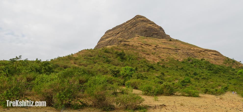
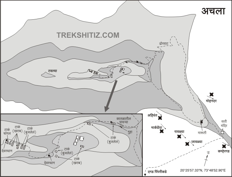
| The mountain top on which Achala is built has less area and hence not much fortification can be seen. This must have been used as a watch tower with a few cisterns and a small temple. It takes 20 minutes to complete the round on the fort. |
| Ways To Reach : |
Achala is situated near village Bilwadi, which is 30 km from Vani, and 26 km south of Saputara, Gujarat (This is spelled as Anchala in Google maps or Achalaa in wikimapia). Bilwadi is the base village of Ahivant fort. A trail leads to a ridge which connects Achala and Ahivant. Bilwadi is to the east side of the ridge. There is a small temple located here, from where we can walk on the ridge towards right and reach the top of the fort. The trail curves to the right of the crest and leads to rock cut steps. Similarly, Pimpriwadi or “Dagad Pimpri” is the base village of this Achala fort and on the other side of the ridge towards the west side.
It takes an hour from both villages to reach the temple and about an hour and a half from the temple to the top. |
| Accommodation Facility : |
| No accommodation on Achala. |
| Food Facility : |
| Packed lunch recommended. Food might be available in base village. |
| Drinking Water Facility : |
| Cisterns contain water till the end of winter, and are dry in summer.Recommended to carry enough water. |
| Time To Reach : |
| 2.5 hours from base village |
| Best Season To Visit : |
| July to Feb |
| Notes : |
| Trekkers generally plan range trek for Achala – Ahivant together. A long range trek can be planned which also includes Saptashringi, Markandya, Rawlya-Jawlya and Dhodap. |

